
Fremont Neighbors and Block Sources
Public sources around a Fremont address answer different, limited questions. The gWorks map supplies parcel geometry and identifiers. An assessor card supplies an owner of record, situs address, legal description, and property characteristics. LandShark can connect an adjacent legal description to recorded instruments. None of those sources establishes every person in a household. VoterView is a matching-registrant and polling-place tool, not a public street-wide search. Civic pages provide public contacts and meeting material, not a private block roster.
| Source | What It Shows About a Block | Access |
|---|---|---|
| Dodge County gWorks GIS | Parcel layout, street geometry, parcel identifiers, and map context | County-linked public viewer; exact interactive neighbor controls were not verified. |
| Dodge County assessor card | Owner of record, situs address, legal description, and property characteristics | Public address or name search; owner is not a household roster. |
| LandShark | Recorded owners and instruments tied to adjacent legal descriptions | Address, legal-description, and name modes; current online cutoff was not located. |
| Nebraska VoterView | Registration and polling information for a specific matching registrant | Name and county lookup; no public street-wide search. |
| City archive and civic pages | Site-plan, board, public-contact, and meeting context | Archive search, public pages, or a records request when material is not online. |
| Library and historical sources | Historical occupants, businesses, and community clues | Microfilm, print, local-history files, or a research request; no verified criss-cross run. |
Start with the center parcel, then create a small record trail for each touching parcel. Keep the parcel ID, situs, mailing address, and legal description separate. A tax mailing address can be outside Fremont or Dodge County, and an owner name can describe a legal interest rather than the people currently at the site.
Fremont Neighbor Parcel Method
The safe Fremont block method does not assume a hidden map button or a radius feature that has not been verified. The documented sequence is simple: browse the map, select the center parcel, record its parcel or legal-description information, open the assessor card, and repeat for every touching parcel. A lot line and legal description reduce the chance that a similar street number or nearby mailing address is mistaken for the parcel next door.
- Find the known address in the county map and write down the parcel identifier, situs address, and legal description.
- Select each parcel that borders the center parcel and preserve the same fields for each one.
- Open the assessor card for every selected parcel and record the owner relationship exactly as displayed.
- Use the legal description in Dodge County LandShark if a recorded document is needed for one parcel.
- Compare dates and parcel descriptions before treating two records as the same property.
The process is address → center parcel → adjacent parcel → assessor card → recorded instrument, when needed. For the longer chain along an entire named road, the Fremont street directory keeps the separate by-street workflow.
LandShark's official current online cutoff was not located, and its working index can have errors or omissions. When an online document stops short, ask the Dodge County Register of Deeds at 435 N Park, Fremont, 402-727-2735, whether the needed index or image is available at the counter, on microfilm, as copied security film, or as a current image.
Fremont gWorks Parcel Review
The Dodge County gWorks GIS viewer provides the visual starting point for Fremont neighbors around one address. County assessor and treasurer pages link to the viewer. The treasurer's published instructions describe accepting the disclaimer, choosing the Treasurer icon, entering a first-name and last-name format or parcel ID, and selecting payment. They do not verify a click-adjacent, buffer, radius, or measure control for block research.
The county-linked gWorks viewer shows the Fremont neighbors parcel-map environment used for the center-parcel check.
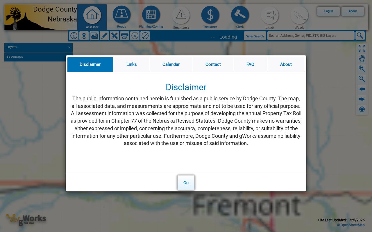
Use the visible parcel context to collect the identifiers that lead to official cards. Do not infer a full block roster from the shapes alone, and do not treat an on-screen map label as proof of current occupancy.
Fremont Assessor Cards for Neighbors
The Dodge County Assessor property search supports account number, name, address, personal-property, sales, building, sketch, photo, property-record-card, and GIS search families. For block work, use an address to reach the situs parcel, then capture the owner shown, account or parcel identifier, legal description, assessed value, characteristics, exemption indicators, and any sales or transfer clues. The exact real-estate field options were not fully captured because of the portal's dynamic interface.
The Dodge County assessor hub provides the Fremont neighbors property-search view that connects an address to its record card.
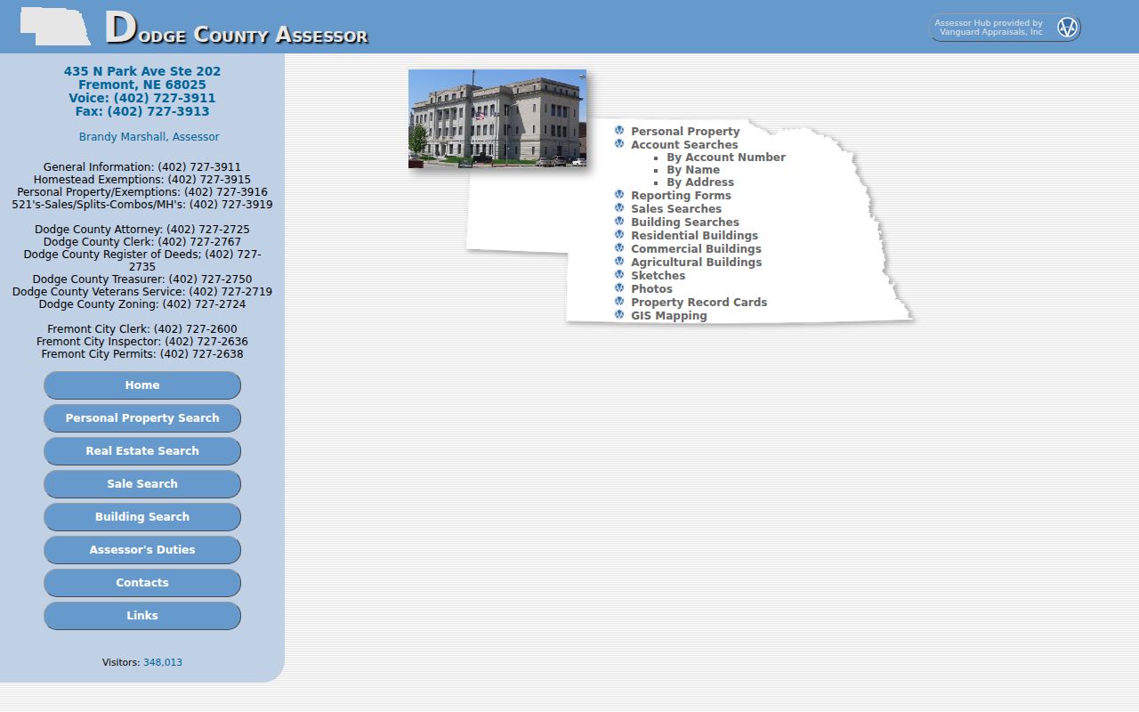
A homestead or exemption indicator can show that a claim was made. It does not establish a full household or prove that a listed owner is living there. The mailing address is also a correspondence lead, not proof of occupancy at the situs parcel.
Note: Record the owner relationship and the physical situs separately, because each assessor field answers a different question about a Fremont parcel.
Fremont Neighbor Voter Boundaries
Nebraska VoterView can confirm registration and polling information for a matching person through a name-and-county search. Its address route is for a polling-place result. Neither route is a public tool for finding every Fremont neighbor on a block. A missing match can reflect spelling, county selection, status, cookies, a timeout, or protected information. It does not prove that someone has never lived at a parcel.
Neb. Rev. Stat. §32-330 makes the register available for examination through the election official, but ordinary members of the public may not make copies of the register. Distributed lists have defined election, political, registration, law-enforcement, or jury-selection uses and cannot be posted online. Under §32-331, eligible voters and Address Confidentiality Program participants can keep name, residence address, and telephone information in a separate confidential file. Dodge County Elections/Voter Registration is handled through the County Clerk at 435 N Park, Fremont, at 402-727-2767.
Fremont Civic Contacts Near a Block
Public boards are useful when the question is civic activity, a planning decision, a street project, or a meeting record. They are not a way to assemble a neighborhood membership list. The Fremont City Boards and Commissions page lists public bodies including Airport Advisory, Appeals, Board of Adjustment, Board of Health, Building Code Appeals, Planning, Park and Recreation, PSAP, Ridge Cemetery Association, and Utility and Infrastructure Board.
The city boards page supplies the Fremont neighbors civic-source list used to find public commissions and their meeting context.
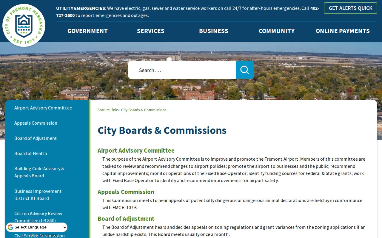
Use a board name to locate public minutes, agendas, or the responsible office. A board listing does not identify the people who live beside a given address.
City Boards and Commissions
Public boards and meeting structure for civic questions around a Fremont block. Check the specific board's public agenda or records path.
Planning and Development
Site-plan, subdivision, zoning, and project material can carry a legal description or project address. Request archived material through the city when it is not online.
Fremont City Archive
The city archive offers category, keyword, time-period, and date controls for public documents.
Fremont Community Partners, Not Member Rolls
The Fremont Community Partners page identifies public-facing local organizations, including Dodge County organizations, Fremont Area Chamber, Greater Fremont Development Council, John C. Fremont Days, Keep Fremont Beautiful, MainStreet Fremont, NENEDD, and the Inland Port Authority. These are useful contact and civic-context sources. The research did not find a city-published neighborhood-association, HOA umbrella, or block-club directory.
The community-partners page is the Fremont neighbors civic directory used where a citywide neighborhood roster has not been verified.
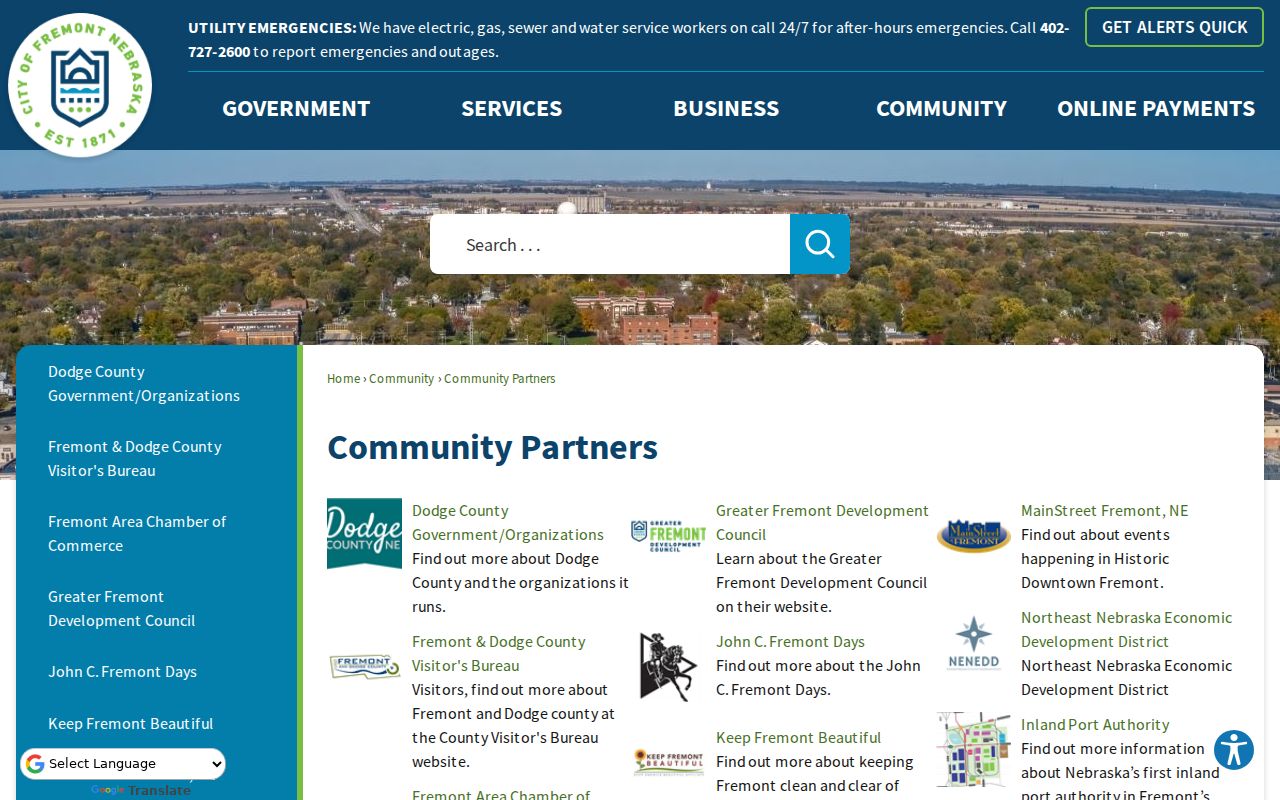
Contact a named organization through its public channel for its own events, public meetings, or published material. Do not turn public organization pages into a roster of nearby residents. Specific public congregation, block-watch, and civic-club rosters were not located in the research.
Fremont Neighbor Tools Compared
Official sources retain a clear link to the record they hold. Commercial neighbor-lookup tools, by contrast, can combine address, property, and public datasets that may be stale, merge adjacent parcels, or attach a non-household association. A commercial result can be a reason to check an official record, but it is not the official record itself.
| Source type | Best use | Key limit |
|---|---|---|
| County parcel and assessor records | Confirm a parcel, situs, legal description, and owner relationship | They do not list every occupant. |
| Official civic and archive sources | Find public boards, records, meeting context, and project material | They are not neighborhood membership lists. |
| Commercial neighbor tools | Provide an unverified clue for later confirmation | They can merge parcels, show stale associations, or omit protected information. |
Fremont Neighbor Scale in Numbers
Fremont's 2020 Census population was 27,141, with a 2025 estimate of 28,350, across 10.67 square miles of city land. Those numbers set only a citywide scale. They cannot be reduced to a count for one block, one side of a street, or an assessor parcel. A block changes as parcels are divided, combined, sold, or given new uses, and a city total does not disclose the people at any address.
The older residential fabric east along 5th and 6th streets and Military toward Pebble, as well as the area along Nye between 10th and 18th, can guide local-history questions. It should not be used to make claims about the age or occupants of a particular property. The legal description and the original record remain the check for an individual parcel.
Fremont Neighbor Privacy Limits
A lawful Fremont neighbors search stops at the public record's boundary. Owner information does not identify all occupants. Tax mailing addresses may be elsewhere. Utilities, delivery information, and motor-vehicle records are not public resident directories. Protected voter addresses and Nebraska Address Confidentiality Program addresses are withheld. A gap can be intentional, and it should never be filled by trying to reconstruct a protected address.
Lawful use. Use Fremont block records for personal safety awareness, family history, civic transparency, or reconnecting with a known person. Do not use public records to stalk, harass, intimidate, or harm anyone.
For historical context, Keene Memorial Library and the Dodge County Historical Society can help with public local-history material, newspaper microfilm, and research requests. Request only public meeting records, archival sources, or historical material. When an official record is unclear, ask its custodian about the lawful access route instead of assuming that an omitted name or address is an error.
Note: An official parcel record is stronger than a commercial clue, but neither replaces respectful, lawful use of information about Fremont neighbors.