
Fremont ZIP Codes in Use
Fremont has two postal ZIP labels documented in the official USPS materials: 68025 and 68026. That is a postal finding, not a map of every neighborhood or a list of all addresses within the city. The available research did not establish the exact boundary of either ZIP, a separate post-office status, or a PO-box or unique-institution role for 68026. The safest reading is deliberately narrow: USPS connects both ZIPs with the Fremont service label, and an individual address still needs its own verification.
| ZIP Code | Areas Covered | Post Office | Notes |
|---|---|---|---|
| 68025 | Fremont city and service label in USPS city-state and labeling material | Exact status not located in official sources | The 2025 USPS label material groups 68025 with the Fremont label; an exact neighborhood boundary was not verified. |
| 68026 | Fremont postal and service label in USPS bulletin and labeling material | Exact status not located in official sources | Its geographic boundary and any PO-box or unique-institution status were not located in official sources. |
For a disputed mailing label, use the postal result first, then preserve the parcel number and legal description from county records. A ZIP label can cross the incorporated line. It cannot settle a question about municipal jurisdiction, parcel ownership, or current occupancy by itself.
Fremont USPS ZIP Verification
The USPS ZIP Code Lookup is the official starting point for a Fremont ZIP code search. It offers an address route, a city-and-state route, and a ZIP-to-city route. Its own warning matters: a returned ZIP does not confirm that a particular person or organization is at the address. Treat the result as standardized delivery information, then use a public custodian for the separate record question.
The official USPS lookup provides the Fremont ZIP code directory screen used to verify those three postal paths.
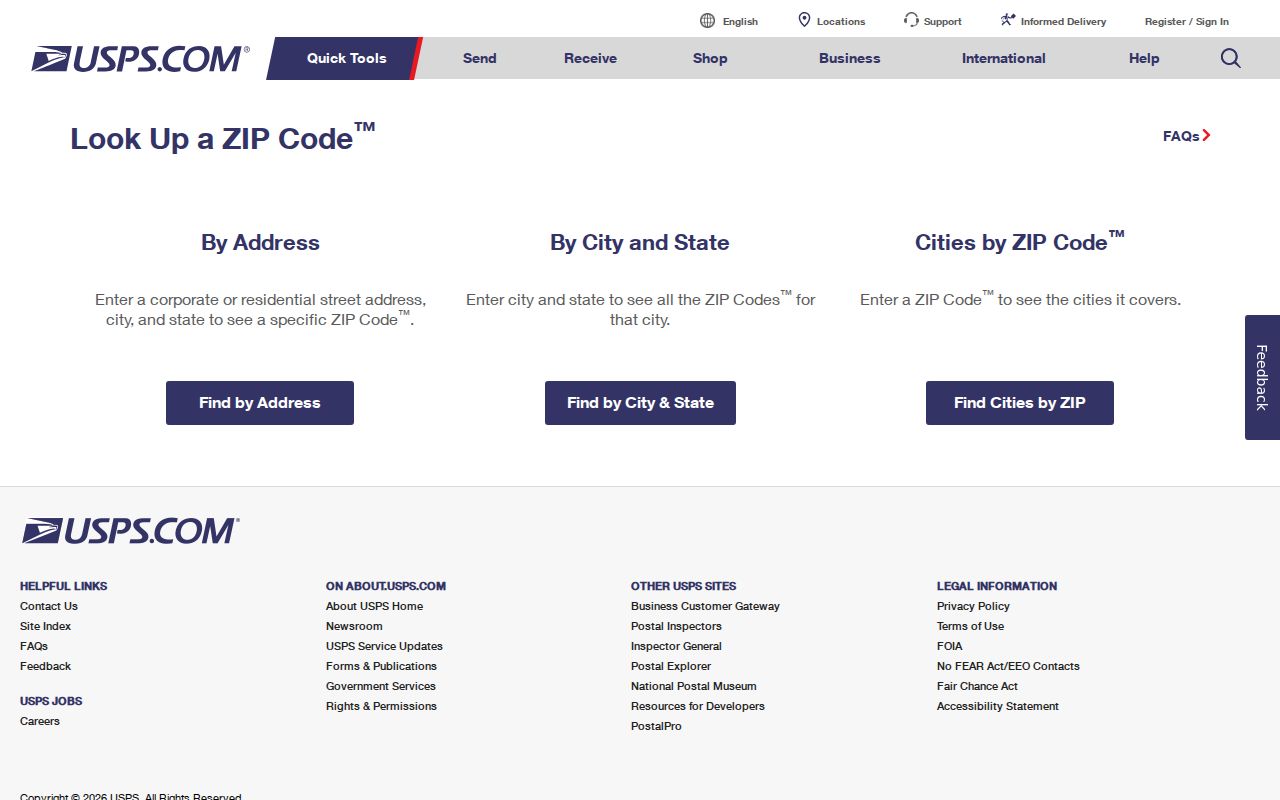
Using the address route after a city-and-state result helps catch a ZIP that applies to one street or delivery area but not another.
USPS labeling material also preserves a useful oddity. The current city is Fremont, while the label list spells “FREEMONT.” That is a USPS label artifact, not evidence of a municipal spelling change. Keep the spelling as it appears in the postal source, but search local records under Fremont and the exact historical locality label shown in the record.
Note: Save the standardized address result with the date checked, because a postal match is a delivery result rather than a proof of residence.
Fremont ZIP Code Lookup Fields
Each USPS route answers a slightly different Fremont ZIP code question. “By Address” is the best choice when a street address is known. “By City and State” supplies ZIP choices for the city label. “Cities by ZIP” checks the postal city names attached to one ZIP. The address path requires the street address, while an apartment or suite may be added when needed. The city-and-state path requires both fields, and the ZIP path requires the ZIP code.
| USPS mode | Required field | Useful Fremont question |
|---|---|---|
| By Address | Street Address | Which standardized ZIP applies to this address? |
| By City and State | City and State | Which ZIP choices does USPS return for Fremont, Nebraska? |
| Cities by ZIP | ZIP Code | Which postal city labels are returned for this ZIP? |
Company is optional on the address form, as are apartment, suite, and other secondary-address fields. Do not fill a blank secondary field with a guess. A rejected address can be a formatting issue, a wrong city label, or a delivery difference that needs confirmation from USPS, the parcel record, or the local planning office.
Fremont ZIP Filters by Agency
ZIP filters are not interchangeable across Fremont records. The Dodge County assessor's inspected personal-property form exposes owner, house number, and street-name fields, but no ZIP field. A real-estate ZIP filter was not verified. LandShark's inspected address mode uses street, city, dates, and instrument group, also without a verified ZIP filter. VoterView searches a person by name and county, while its address tool is for polling locations rather than a ZIP-wide resident list.
The Nebraska Sex Offender Registry accepts a region by county, city, or ZIP and a radius of one, two, or three miles.
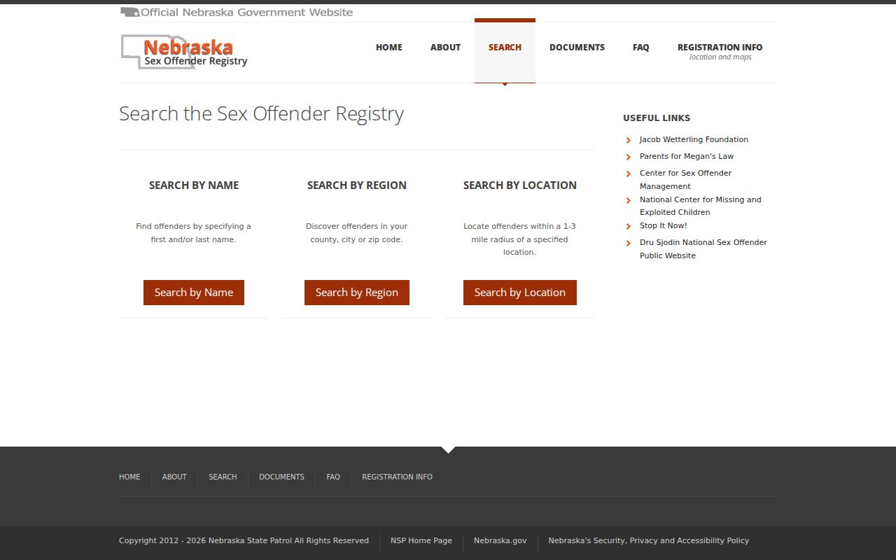
A registry response belongs only to that statutory registry. It is not a complete ZIP code directory of Fremont residents, and every result should be used within the registry's legal limits.
The Nebraska License Information System has individual, business or service, and facility or service search modes with ZIP among its location fields.
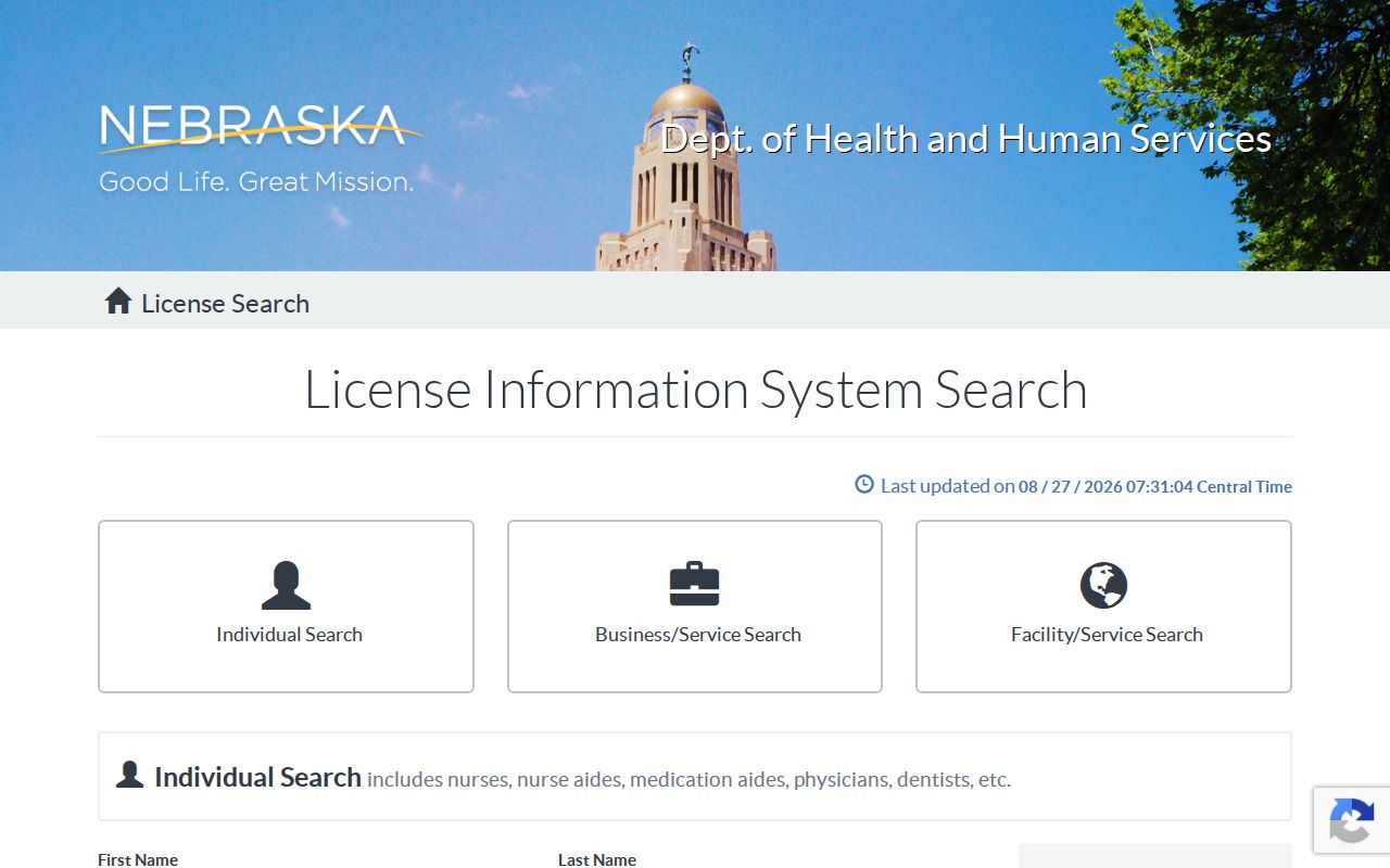
A license result is limited to the regulated license dataset. Nebraska LostCash also accepts ZIP, but an agency ZIP query never produces an all-resident or all-parcel export.
Fremont ZIP Code Search Steps
A staged method prevents a delivery label from being mistaken for a property boundary. Start with USPS, then shift to the county map and parcel record. The assessor, gWorks viewer, city-limit map, and the postal tool all describe a different layer. Keeping those layers separate is especially helpful when a mailing address falls near the municipal line or a historical record uses an addition, block, ward, or rural-route label.
- Use USPS city and state to make a worklist of ZIP choices returned for Fremont, Nebraska.
- Enter the known street address in the USPS address route and save the standardized result.
- Check the parcel through the Dodge County gWorks viewer and assessor record, keeping the parcel identifier and legal description with the postal result.
- Compare the address with the official Fremont city-limits map when city jurisdiction matters.
- Use a ZIP-ready state database only for the record type it keeps, then confirm a match through the responsible custodian.
Once a ZIP search narrows the work to an address, the Fremont street directory has the fuller by-address trail through parcels and recorded documents. ZIPs are a starting filter, not a substitute for that street-level work.
Fremont ZIP Counts Need Context
Fremont had 27,141 people in the 2020 Census and a 2025 estimate of 28,350, while its 2020 land area was 10.67 square miles. Those figures describe the incorporated city, not either ZIP. Dodge County and a postal delivery area each use a different footprint. A total from one geography should never be relabeled as a ZIP population or used to infer the people at a particular address.
The distinction becomes practical around the Platte River, airport, highways, subdivisions, and outlying county land shown on the city-limits map. Postal operations may assign a Fremont mailing label across a different area from the municipal boundary. Use the city map for city jurisdiction, USPS for delivery, and the assessor legal description for the parcel itself.
That separation also explains why a ZIP query may work in one state database but not another. A Fremont ZIP can narrow a license, registry, or unclaimed-property search without defining the number of people or parcels in the delivery area. A blank ZIP field on an assessor, LandShark, or VoterView screen is a portal limit, not evidence that the address has no county or election record.
Fremont ZIP Code Boundaries and City Limits
ZIP code boundaries and Fremont city limits are separate systems. The city-limits PDF, revised July 8, 2025, shows municipal boundaries and geographic features. USPS assigns ZIPs for delivery operations. Research did not locate a verified overlay giving exact addresses where the two diverge, so it would be inaccurate to name a boundary street or assign a neighborhood to one ZIP without checking the individual address.
- ZIP code
- A postal delivery code. It is not a municipal boundary or a count of everyone at that code.
- ZIP+4
- An added four-digit delivery detail used with a ZIP code for a more specific mail destination.
- PO-box ZIP
- A ZIP used for post-office boxes. The research did not verify whether either Fremont ZIP has that status.
- Unique ZIP
- A ZIP assigned to one organization or location. No such status was verified for either Fremont ZIP.
- Carrier route
- A postal delivery route. It is not a parcel boundary and does not establish city jurisdiction.
Planning and Development can help with zoning, subdivision, and site-plan material when a disputed address needs local context. The assessor's situs address is the physical parcel location; its mailing address is where tax correspondence goes and may be elsewhere. A legal description, such as lot, block, addition, tract, or metes-and-bounds wording, remains the more stable bridge when a postal string is unclear.
Note: Preserve the postal label, city-limit status, parcel ID, and legal description as separate fields rather than merging them into one location claim.
Fremont ZIP Code Record Limits
Modern ZIPs should not be projected backward onto every Fremont historical record. Older directories and county material may use a city label, ward, township, rural route, addition, block, cross street, or legal description instead. Fremont's grid can make a street easy to recognize, but deeds depend on the legal description when a number changes or a parcel lacks a conventional address. Search the wording printed in the original source before applying a modern postal label.
There is no verified dated history for a Fremont ZIP split or realignment in the available official material. The research found a 2016 USPS bulletin item and a 2025 labeling list, but not enough evidence to assign a past boundary or change year. When a historical search stalls, use the owner or seller name, addition, lot, block, and adjacent streets rather than assuming the present ZIP was used at the time.