
Fremont Streets by Address
A Fremont street directory search works best when the address is treated as a parcel trail, not as a household roster. Begin with the physical address in the Dodge County Assessor records. Save the situs address, the parcel or account identifier, and the legal description. Those details connect a map point to an owner record and then to recorded documents. A mailing address is useful context, but it can be elsewhere and does not establish that the owner lives at the Fremont parcel. The same caution applies to every later result.
- Search the Dodge County Assessor property hub by address or account, then preserve the situs address, owner name, parcel or account identifier, and legal description.
- Open the county-linked gWorks viewer, locate the parcel, and compare the mapped location with the assessor record.
- Use the legal description, address, or parcel details in LandShark to find recorded instruments and the names of parties to them.
- For a registration question about one person, use Nebraska VoterView with the matching name and county, or use its address tool only to find a polling place.
- When the question turns historical, compare available directory years and census schedules rather than assuming that an owner record identifies everyone at the address.
That sequence separates three different questions: where a parcel is, who owns or held an interest in it, and which historical sources place a named person there. It also leaves a reliable trail when a street number, a name spelling, or a portal result changes.
Fremont Address Search Fields
The assessor hub is the practical front door for a Fremont search by street. Its navigation includes account searches by name and address, personal-property searching, sales, building searches, sketches, photos, property record cards, and GIS mapping. The fully inspected personal-property form accepts partial information and combines house number with street name. The real-estate form sits behind a disclaimer, so its complete field list was not captured. Do not assume it has a ZIP filter or a particular parcel-number format.
| Assessor field | Use on a street search | Documented note |
|---|---|---|
| House Number | Start with the physical address | Combines with Street Name as an AND search. |
| Street Name | Narrows the address | Partial information is accepted on the inspected form. |
| Owner Name | Checks a known owner | Partial information is accepted for personal property. |
| Account Number | Returns to a saved record | The personal-property form permits a percent wildcard. |
| Computer ID or DBA | Separates account results | These are personal-property fields, not a household list. |
The Dodge County Assessor search hub is the source for the address, account, property-card, and GIS navigation.
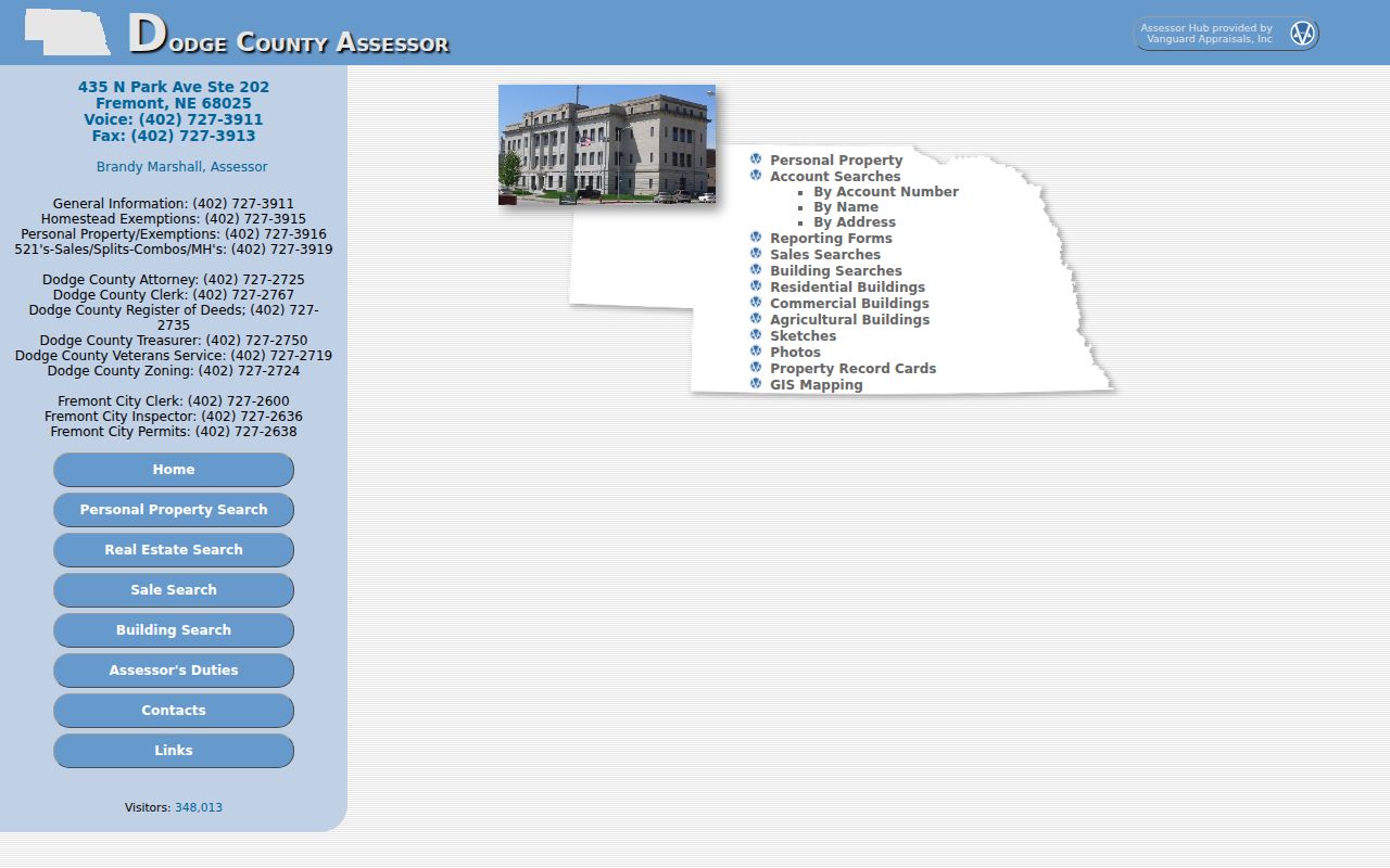
The hub points from an address search toward the parcel details needed for a street-by-street record comparison.
The inspected personal-property search shows the account, computer ID, DBA, owner, house-number, and street-name controls.
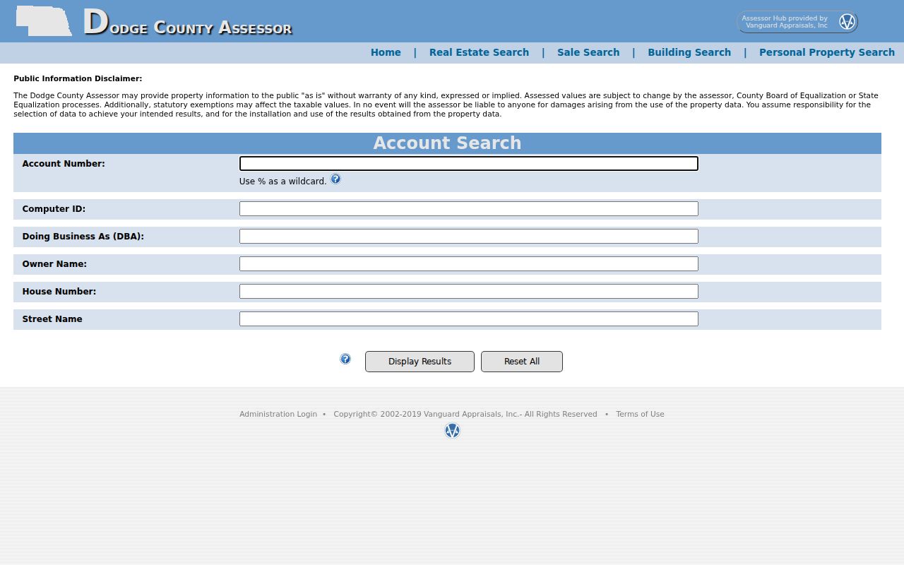
These visible controls support a careful address query, but the returned account relationship still needs to be distinguished from who may be present at the physical location.
The assessor describes a record card as including owner name, mailing and situs addresses, legal description, parcel or account identifier, characteristics, assessed value, exemption indicators, sales information, sketches, photos, and the card itself. Values are supplied as is and can change through the assessor, County Board, or State Equalization process. The office is at 435 N Park, Room 202, and its main number is 402-727-3911 for a record or address question that cannot be resolved online.
Note: Preserve both situs and mailing addresses because they answer different questions in an address search.
Fremont Parcel Map Workflow
gWorks is the county-linked map and tax-viewer route, not a verified public list of every household on a Fremont street. The assessor and Treasurer link to it, and the Treasurer instructions describe accepting the disclaimer, choosing the Treasurer icon, entering a name or Parcel ID, and selecting Make a Payment. The text inspection could not expose current layer names, parcel-click fields, adjacent-parcel tools, exports, or a data date. A safe workflow is therefore modest: find a street or parcel, select the parcel, follow the available parcel or property-card link, and carry the legal description into LandShark.
The Dodge County gWorks viewer is the appropriate map starting point.
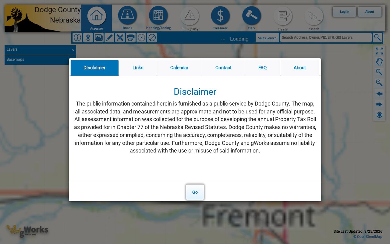
The viewer helps keep an address tied to the correct parcel, while the assessor card and recorded instruments supply the documented record details.
For current planning or subdivision context, Fremont Planning and Development handles zoning, subdivision, and site-development material at 400 E Military. Its office can help identify a project record by address or legal description. The city’s current comprehensive plan was amended November 25, 2025, but a public permit or code-case search was not located. A focused request under the Nebraska Public Records Act can name the address, date range, and requested permit or inspection material.
Fremont Street Deeds by Address
Recorded deeds provide the ownership trail behind a Fremont address result. LandShark has separate Address, Name, Date, Book and Page, Document Number, Legal Description, Parcel ID, Plat, and tract-related modes. Its address search takes street number, street name, city, instrument group, and a date range. If an address search is thin, move to the lot, block, addition, or legal description from the assessor record. That is often more stable than a street number.
The Dodge County LandShark recorded-document index shows the search-mode navigation used for this chain.
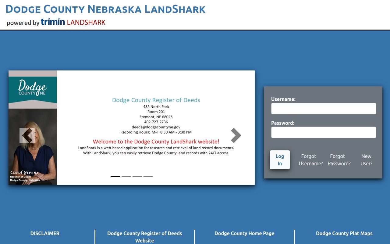
Use the result to record the party roles, recorded date, document or instrument number, book and page when present, document type, and legal description before starting the next search.
LandShark warns that its working index can contain errors or omissions and that online access can appear before verification. Search both grantor and grantee roles, then compare a surname result with the legal description or book and page. The Dodge County Register of Deeds can also provide a counter fallback at 435 N Park, Fremont, 402-727-2735. Ask for help with an image, book and page, instrument number, legal description, or historic index.
Fremont Records by Street
Several Fremont records can be keyed to an address, but each answers a narrower question. The assessor records an owner and parcel facts. LandShark records an instrument and its parties. The map supplies parcel context. Election information confirms a matching registrant only within its rules. City material can date a project. A reliable comparison keeps the source and its limit beside every name or address.
| Fremont address record | Custodian | Useful street evidence | Access route |
|---|---|---|---|
| Assessor property record | Dodge County Assessor | Owner, situs, mailing address, parcel, legal description, value | Address, name, or account search; office contact. |
| GIS parcel context | Dodge County gWorks | Mapped parcel and county-linked context | Viewer, then parcel selection where available. |
| Recorded instrument | Register of Deeds | Parties, dates, legal description, book/page, image when available | LandShark, counter, or historic archive route. |
| Voter registration | Dodge County Clerk and Nebraska election system | Permitted details for a matching registrant | VoterView or a statutory request. |
| Permit or planning file | Fremont Planning or Building Department | Project timing, address, legal description, file participants | Office request; no public searchable case index located. |
A parcel number does not replace the legal description, and a street name does not prove municipal boundary. Keep each with the source record. The Fremont permits and inspections information gives the city route for an application or inspection request.
Fremont Street Records, 1858-1992
Fremont address research can reach farther than the modern web interface. The History Nebraska RG266 finding aid verifies Dodge County Register of Deeds numerical indexes from 1858 through 1992. It also identifies assessor records from 1883 through 1968, assessment schedules from 1883 through 1963, and real-estate ledger cards from 1953 through 1969. Those spans are archival series, not a promise that every document image is online.
The RG266 Dodge County finding aid is the citation to carry when an online chain ends. Dodge property information reached the web by June 2006, GIS was available by June 2014, the county changed to gWorks in August 2016, and its CAMA conversion followed in 2018. These are system milestones, not complete coverage dates.
The current LandShark online cutoff year was not located in an official source. When a record is absent online, contact the Register of Deeds or History Nebraska rather than treating the absence as proof that no earlier instrument exists.
Note: The 1858-1992 numerical-index span is verified archival coverage, not a confirmed online LandShark range.
Fremont Street Grid and Terms
Fremont’s older core uses a grid of square and rectangular blocks. Historic downtown is generally south and east of Military and Broad, with the railroad corridor south of downtown. Older homes cluster east and west of downtown, including areas along 5th, 6th, Military, and Nye. This geography helps a street searcher spot a nearby addition or cross street, but the parcel’s legal description controls when a map label and an address disagree.
- Parcel
- A defined piece of land tracked by the assessor, commonly with an account or parcel identifier.
- Situs address
- The physical location of the parcel. It is different from a mailing address used for correspondence.
- Plat
- A recorded map that lays out lots, blocks, additions, streets, or other subdivision details.
- Legal description
- The lot, block, addition, tract, or metes-and-bounds identity used in deeds and plats.
A dated Fremont street-renumbering or street-renaming schedule was not located. When an older address fails, search the owner or seller name, the addition, block and lot, adjacent streets, or the legal description. Those identifiers can bridge a changed street number without inventing a renumbering date.
Fremont Voters by Street
VoterView is not a public Fremont street-wide household directory. Its registration search uses name and county, while its address tool locates a polling place. A matching result can display registration and ballot or polling details allowed by the interface. A no-match result can reflect spelling, county selection, status, cookies, a timeout, or protected information. It should never be used to conclude that a person never lived in Fremont.
Neb. Rev. Stat. §32-330 allows examination of the voter register at the election office but restricts copying and the uses of distributed lists. Section 32-331 permits confidential voter treatment in specified circumstances. For an access or correction question, the Dodge County Clerk handles elections at 435 N Park, 402-727-2767. Historical election records from 1881 to 1952 are separately identified in RG266.
Note: A matching registration result does not establish every person connected with a Fremont parcel or street address.
Fremont Street History Gaps
Older Fremont street records have a local survival problem. The first Dodge County courthouse fire occurred December 31, 1887. A second major fire on December 5, 1915 destroyed substantial public records, although major series survived. County government worked from the First National Bank building until the new courthouse was dedicated in February 1918. Transcripts of lost court records had to be made, and George W. Day was paid to reproduce books and papers after the earlier fire.
That history gives a missing address result a different meaning. It may reflect a lost volume, reconstructed book, changed legal description, or an online gap. Compare the county counter, the RG266 finding aid, directories, and local-history sources before deciding the trail ends.
Fremont Address Search Limits
A Fremont address search can document parcels, owners, recorded transactions, and some carefully limited matching registration information. It cannot identify every non-owner occupant, household member, utility customer, delivery recipient, or motor-vehicle address. Federal motor-vehicle privacy restrictions apply, and protected voter data may be withheld. A property owner is not automatically an occupant.
Lawful use. Fremont address records are useful for personal, lawful research, family history, estate questions, and civic curiosity. Do not use them to stalk, harass, intimidate, or harm anyone.
For a past-address question, the Fremont City Directory collections offer the historical volumes and microfilm context. A question about one named person calls for a narrower record comparison than a whole-street search.